ICOS STATION
Gebesee
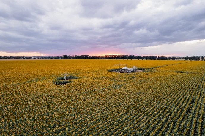
The Gebesee Ecosystem station in Germany has been running greenhouse gas measurements since 2001, making it one of the longest-running Ecosystem stations on a crop site in the ICOS network. Agriculture plays a big role in this region, known locally as the Thuringian Basin.
Germany
163 m
Altitude
9.2 °C
Mean annual temperature
534.0 mm
Mean annual precipitation

Detailed information
DE-Geb
DE
1
2020-11-17
1
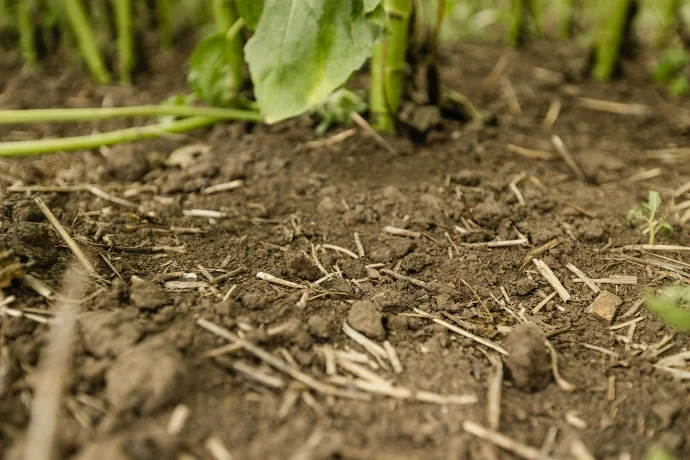
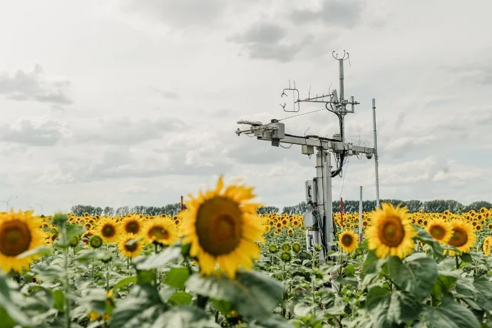
The station Gebesee (ICOS code DE-Geb) is located near Gebesee ca. 20 km northwest of Erfurt in the Thuringian Plain, Germany. The site is an agricultural site with crop rotation since 2001 (when the eddy flux measurements started) included winter wheat (Triticum aestivum L.), potatoes (Solanum tuberosum L.), rape (Brassica napus L.), winter barley (Hordeum vulgare L.), sugar beet (Beta vulgaris L.), peppermint (Mentha × piperita L.), durum (Triticum durum DESF.), and spring wheat (Triticum aestivum L.). The soil is classified as Chernozem (FAO) with a silty clay loam texture (~30 % clay) and granular structure.
9.2 °C
534.0 mm
119.1 W/m2
51.09973, 10.91463
163 m
Current staff
| Name | Role (ICOS vocabulary) | Start date |
|---|---|---|
| Christian Brümmer | Principal Investigator | 2018-06-01 |
| Timo Rosenthal | Administrator | 2026-01-08 |
| Jeremy Rüffer | Data Manager | 2026-01-08 |
| Akarsh Shivhalli Gopal | Researcher | 2024-08-04 |
Former staff
| Name | Role (ICOS vocabulary) | Start date | End date |
|---|---|---|---|
| John Akubia | Data Manager | 2023-11-10 | 2026-05-31 |
| Jean-Pierre Delorme | Administrator | 2018-06-01 | 2025-10-31 |
| Frederik Schrader | Data Manager | 2019-09-30 | 2022-08-31 |